Henderson Surveying & Engineering
At Henderson Construction we believe that utilizing drones (UAV’s) to conduct surveys of your construction, aggregate, and/or mining site is the best way to obtain highly accurate aerial images, topographic maps, and volumes.
We specialize in UAV or drone aerial imaging, which allows us to complete a high-definition survey that provides you with current and detailed Orthographic maps of your work-site or project location.
Using leading edge UAV’s (Unmanned Aerial Vehicle Systems), a.k.a. drones, we can offer a cost-effective alternative to typical survey services. Our drone survey services are safer, faster, and highly accurate when compared to traditional survey methods.
A drone survey is a reliable solution for many types of applications and fields, including aggregates and mining, topographic engineering, environmental planning and monitoring, construction, agriculture, archaeology, inspection services, and forestry.
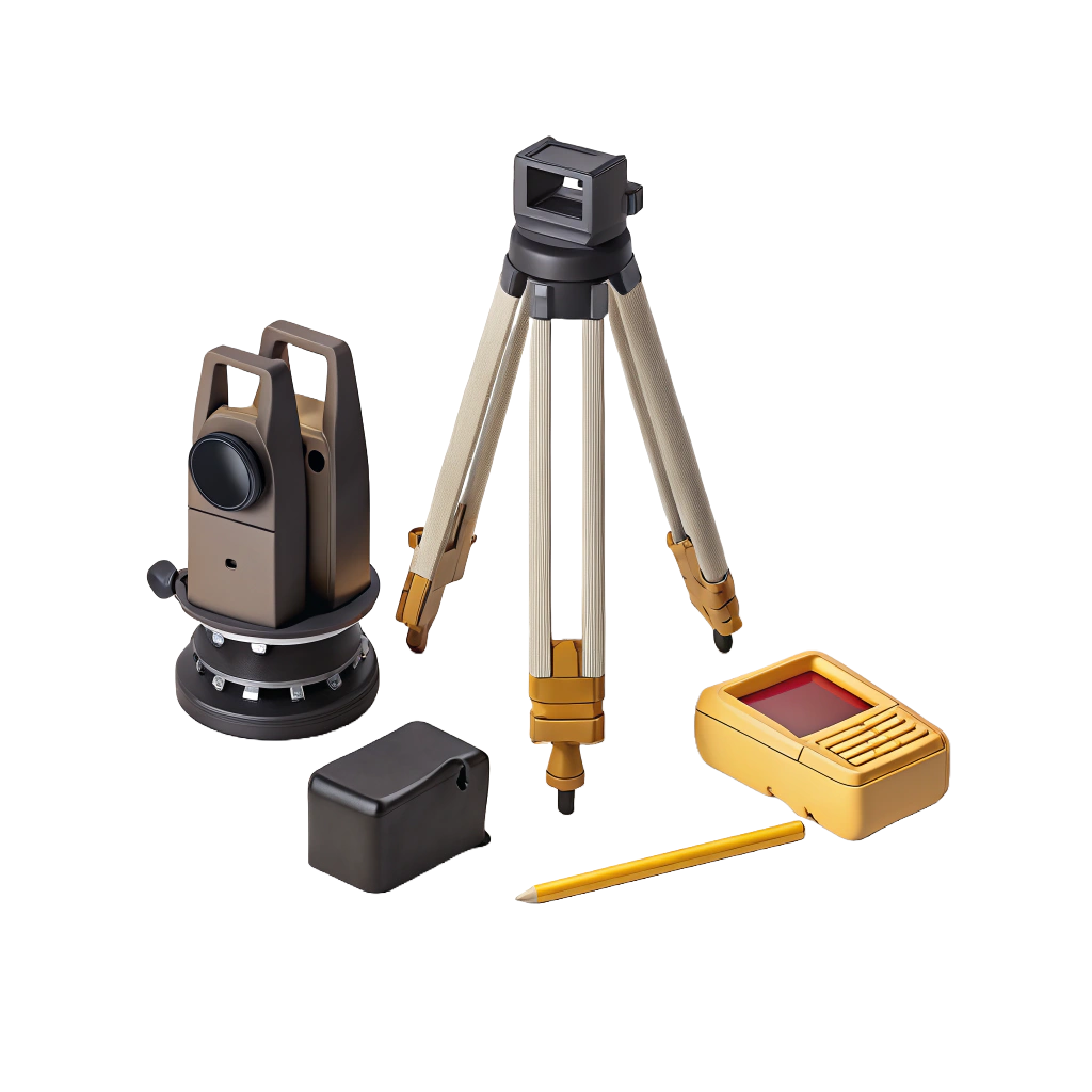
Drone Topographical photography
Using advanced drone technology, we capture high-resolution aerial imagery to produce accurate topographical data and detailed surface maps—delivering precise results faster and more efficiently than traditional surveying methods.
Surveying & Engineering services
We provide accurate land surveying and practical engineering solutions for projects of all sizes. From site planning to detailed design, our team delivers precise, reliable results you can build on.
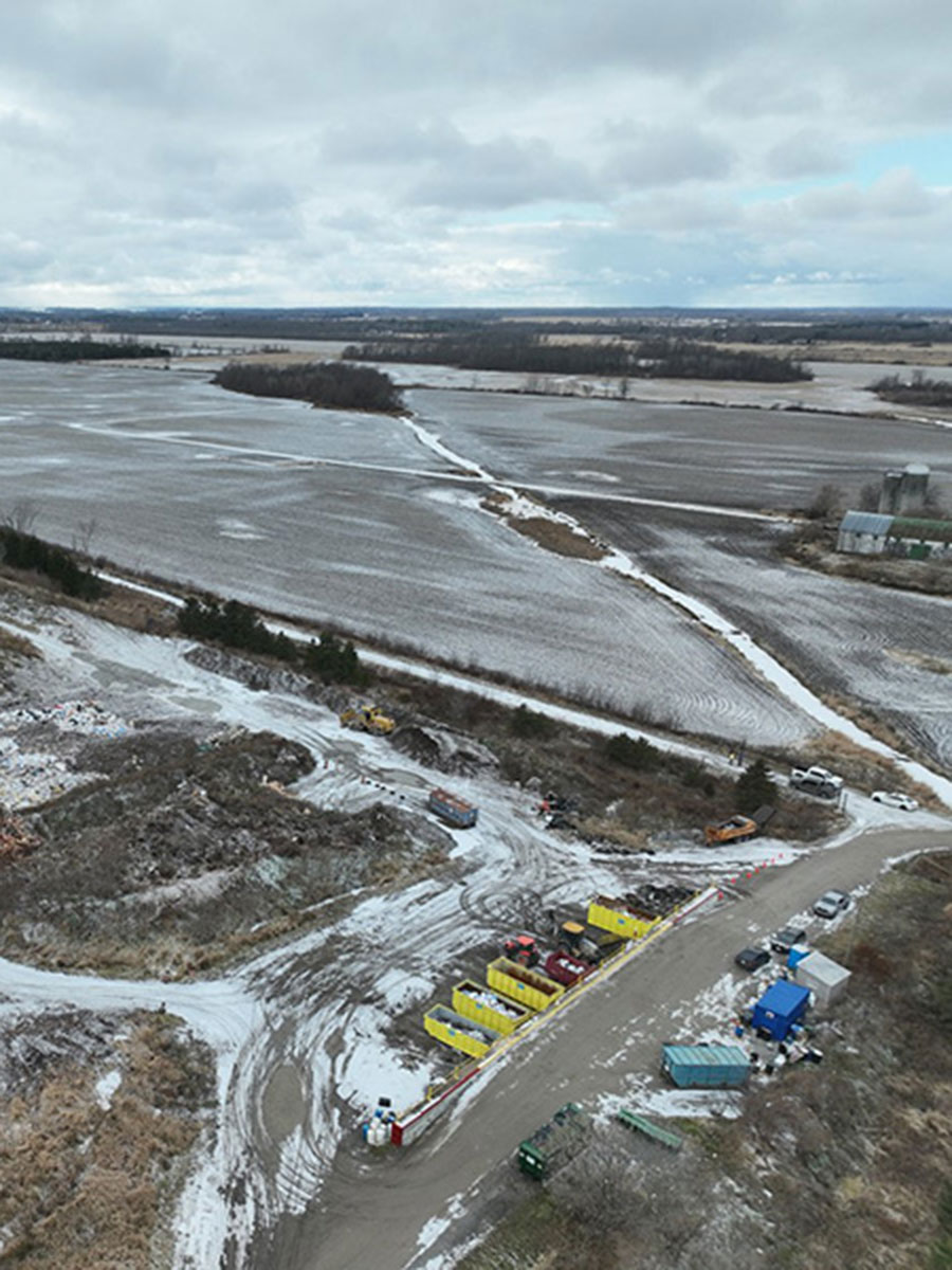
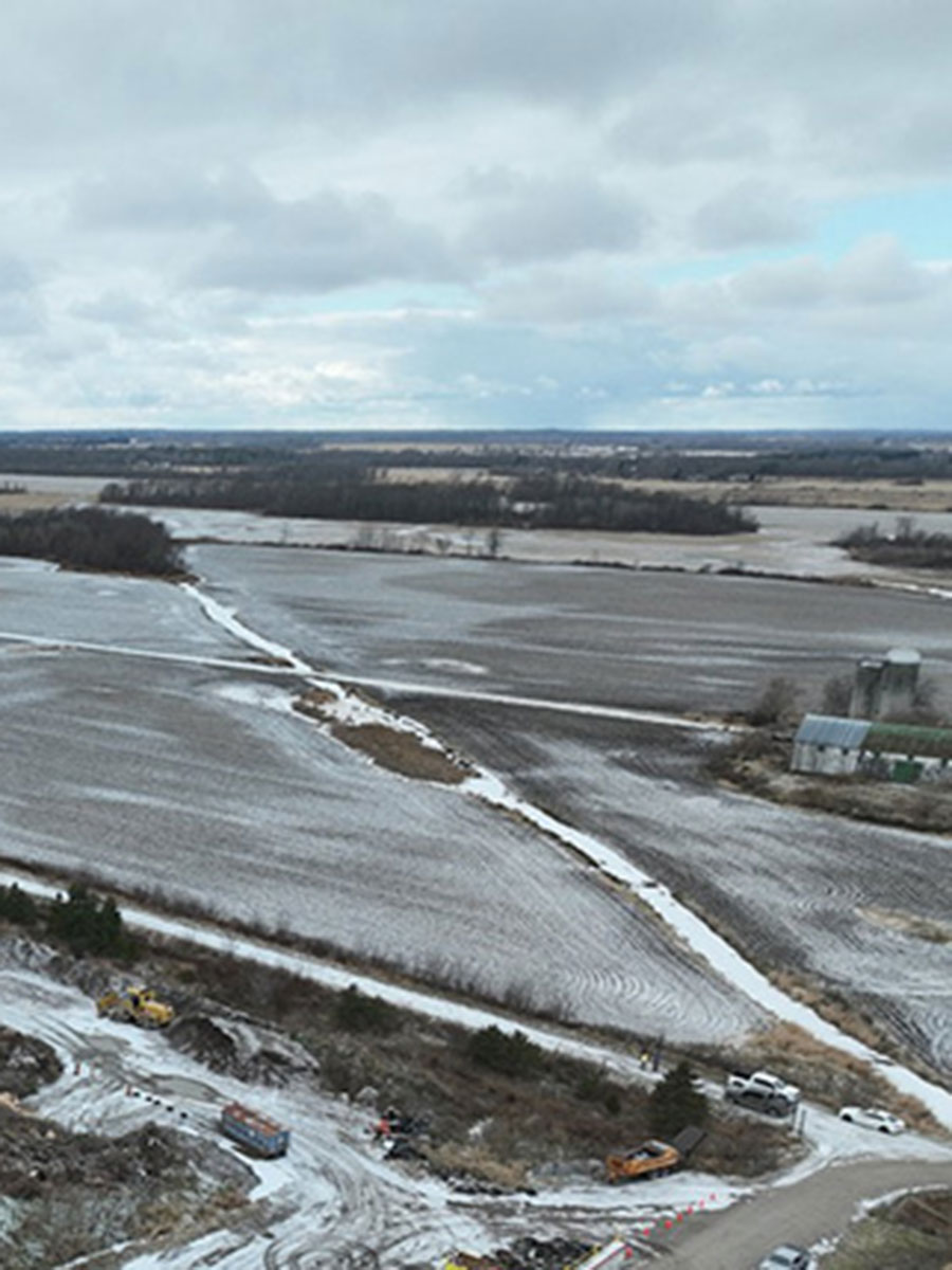
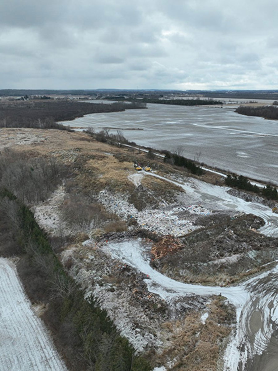
Featured Project
Leads Greenville Landfill
Lansdowne, ON
The Henderson Group successfully led and executed a comprehensive test pitting program focused on waste classification and volumetric analysis to accurately assess the remaining capacity and projected lifespan of the current landfill facility. With our proven expertise in environmental consulting and waste management solutions, Henderson Group brought industry-leading methodologies and precision to the project, ensuring data-driven insights that support sustainable landfill operations and long-term strategic planning. Our commitment to excellence, combined with our deep technical knowledge and regulatory understanding, positioned us as the ideal partner for delivering high-quality, actionable results on this critical infrastructure assessment.
Partnerships
We are always looking to form long-lasting relationships with subcontractors and vendors, built on mutual trust and respect.